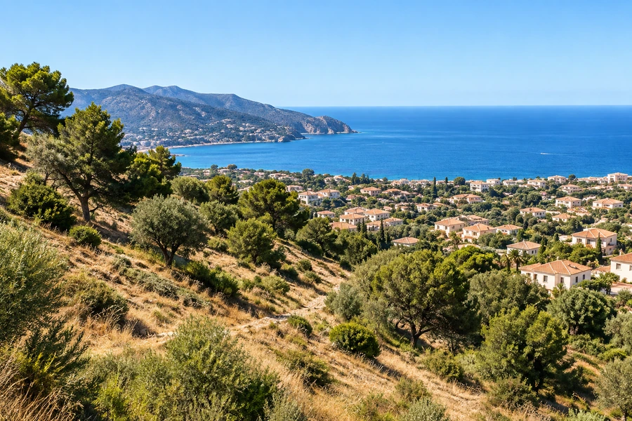
Check flood information before paying a deposit on Spanish land, including the route to the property. The plot, the proposed house platform and the access road can face different conditions. A building position outside one mapped outline does not complete the assessment.
For an overseas purchaser, the most useful approach is to keep three questions separate: what the maps indicate, what the authorities permit and what the remaining exposure means for living there. A planning answer, an insurance offer and a hydraulic assessment serve different purposes.
Begin with an accurately identified site
The Spanish environment ministry provides the official Sistema Nacional de Cartografía de Zonas Inundables, known as SNCZI. The official sources used here were consulted on 19 September 2026. Record your own consultation date and the details of the particular mapping layer used for a purchase.
Locate the cadastral parcel and compare its full outline with the mapping. A sales pin often marks an approximate position or the centre of an estate. That can conceal an affected corner, a proposed basement entrance or the only road connection.
Where the property outline is uncertain, commission the necessary boundary review. A precise flood map overlaid on the wrong parcel is not a reliable check. Ask your adviser to retain a plan showing both the site and its access.
Choose the right layer and read its meaning
Different layers may show flood extents for particular scenarios, water depths, preferential flow zones or hydraulic public-domain information. Their meanings are not interchangeable. Switch layers on individually and read the legend, metadata and available study information before interpreting a colour.
The Spanish term zona de flujo preferente identifies a specific regulated concept. It is not simply another name for every place shown within a low-probability flood outline. Ask the technical adviser to identify which mapped and legal categories affect the actual proposal.
Also check the coverage and resolution of the underlying study. A mapped boundary represents modelled information, not a survey peg proving that water stops at that exact point. A house close to a mapped edge may require closer examination of levels and the relevant evidence.
Understand the probability behind a return period
A “100-year flood” does not mean an event is due once every hundred years. In the model, it corresponds to a 1% annual probability. The Cantabrian River Basin Authority’s mapping guidance explains the annual probabilities associated with 10-, 100- and 500-year scenarios: 10%, 1% and 0.2% respectively.
For an educational illustration, a constant 1% annual probability over thirty independent years gives about a 26% chance of at least one occurrence. That calculation explains how repeated exposure accumulates; it is not a forecast for a particular plot, and its simplifying assumptions should not be mistaken for a site assessment.
Frequency is only part of the question. Water depth, flow and the vulnerability of people or property also matter. A less frequent mapped scenario can still be relevant when deciding whether a basement, ground-level plant room or single access route is appropriate.
Treat missing mapping as a question to investigate
An uncoloured screen can mean the selected layer does not cover that location or that the relevant study is unavailable. It cannot establish that the land is flood-free. Confirm what has actually been assessed.
Ask about surface-water routes, local drainage, nearby channels and coastal flooding where relevant. A river study may not answer every question about intense rainfall collecting on a road or water arriving from higher ground. Local information and a site visit can identify further questions, but neither replaces the appropriate technical analysis.
The topographic survey and ground investigation provide useful physical information. They do not automatically include a flood study. Define that commission separately if the competent authority or project conditions require one, and have the findings coordinated with the house design.
Ask the authorities about the actual proposal
Spain’s Hydraulic Public Domain Regulation contains specific provisions for preferential flow zones and floodable areas. Their application depends on the relevant land situation and proposed activity, among other conditions. Avoid assuming either that all mapped land is unbuildable or that raising a floor automatically makes the project acceptable.
Send the municipality and competent basin or regional water authority a location plan, parcel reference and clear description of the intended development. Request the applicable restrictions, permissions and study requirements. Incorporate those answers into the plot’s planning review.
| Proposal detail | What to establish |
|---|---|
| Residential accommodation | Whether the use and location are permissible |
| Basement or garage | Any specific restrictions and design conditions |
| Access and evacuation | Exposure of the route, not just the house platform |
| External works | Effects on drainage and additional permissions |
| Utilities and equipment | Location of vulnerable connections and installations |
Use the findings to decide what you are buying
Imagine a hillside plot with a dry-looking house position and a driveway crossing a low area beside a stream. The advertised view and elevated platform do not answer whether that route remains usable during the relevant event. The whole arrangement needs examination before the purchase is treated as straightforward.
Obtain an insurance proposal using the correct location and intended building details, then review its terms. An insurer’s willingness to quote is neither planning approval nor a statement that flooding cannot occur. It adds a financial consideration to the physical and legal ones.
As part of the land purchase checks, keep maps, layer names, dates and written responses together. Ask your lawyer to address unresolved conditions in the contract before the commitment becomes unconditional.
Share the plot location, intended use and any mapped flood information. Include the access route so the next discussion can identify the confirmations needed for the complete property.
Sources and further reading
- MITECO · Sistema Nacional de Cartografía de Zonas Inundables
- Confederación Hidrográfica del Cantábrico · Mapas de zonas inundables
- BOE · Reglamento del Dominio Público Hidráulico
Sources checked on 19 September 2026. Your property documents and local requirements determine how the guidance applies to your project.