If you are organising a Spanish self-build from abroad, the word “survey” can hide several different services. A topographic survey records the site's geometry and visible features within its agreed scope. A geotechnical investigation examines ground conditions for the proposed building. Neither replaces a legal title review or a planning enquiry.
The aim is not to collect reports for a file. It is to give the designer reliable information before important decisions become expensive to change. Site levels can alter the layout; ground findings can alter foundations and retaining works. Both can change whether a plot makes sense for your budget.
Topography: the shape your design must work with
A useful measured site survey can show levels, contours, walls, access points, buildings and other relevant features. For a sloping plot, it should help the architect understand the relationship between the proposed home, the road and neighbouring land.
Ask the architect to define the required area and detail before you commission it. A boundary-area plan alone may not contain the levels needed for drainage or a garage ramp. Conversely, a detailed surface model may omit the documentary comparison needed to investigate an uncertain boundary.
Agree the deliverables: a readable plan, the coordinate and height reference, relevant digital files and a clear record of inaccessible or unmeasured areas. If your team works in different software, confirm usable formats now. A visually impressive PDF may still require extra work before it can support the design.
A measured fence is not a legal boundary decision
Surveyors can measure physical features and compare them with records. They do not settle ownership simply by drawing a line. If a wall, cadastral map and title description disagree, have the technical findings reviewed alongside the legal documents.
Spain's Cadastral Law, article 3, preserves the legal precedence of Land Registry determinations. For a buyer, the practical lesson is to resolve material discrepancies before designing against a disputed edge, especially if it affects access or the required distance between the building and boundary.
Public mapping is valuable for early screening. The Spanish National Geographic Institute provides geographic data and cartography. Check its scale, date and suitability rather than assuming a downloaded map is precise enough for setting out a home.
Geotechnics: the ground beneath the proposed building
The geotechnical study provides information about the ground in relation to the intended building and its surroundings. Spain's Building Code document DB SE-C, section 3 addresses this work and places it early in design, before the structure is fully dimensioned.
The investigation may involve boreholes, penetration tests, trial pits and laboratory testing as appropriate. The correct scope depends on the site and project. Do not turn the procurement into a contest for the lowest number of tests; ask the professional to explain why the proposed investigation can support the design decisions.
Issues to discuss include made ground, variable strata, groundwater, excavation conditions and possible interaction with neighbouring structures. Ask which findings could affect the foundation approach or retaining works. The engineer uses that information in design; the report is not a do-it-yourself menu of foundation types.
Commission in stages when buying the land
Before a purchase, first establish whether the intended use has a plausible planning route. Then ask which physical investigations would materially change your decision. You may need enough evidence to assess a particular risk before commitment, followed by more detailed work for the eventual design.
Obtain the seller's permission for access and any intrusive work. Agree how equipment will enter, which areas must remain undisturbed and how the site will be left. If access is too narrow for the proposed investigation equipment, resolve that with the provider before booking.
Make the limits of each stage explicit. A preliminary visit can identify concerns without providing the parameters needed for final structural design. Likewise, a historic report may offer background but need updating for the position and loads of your new home.
A design change can change the investigation needed
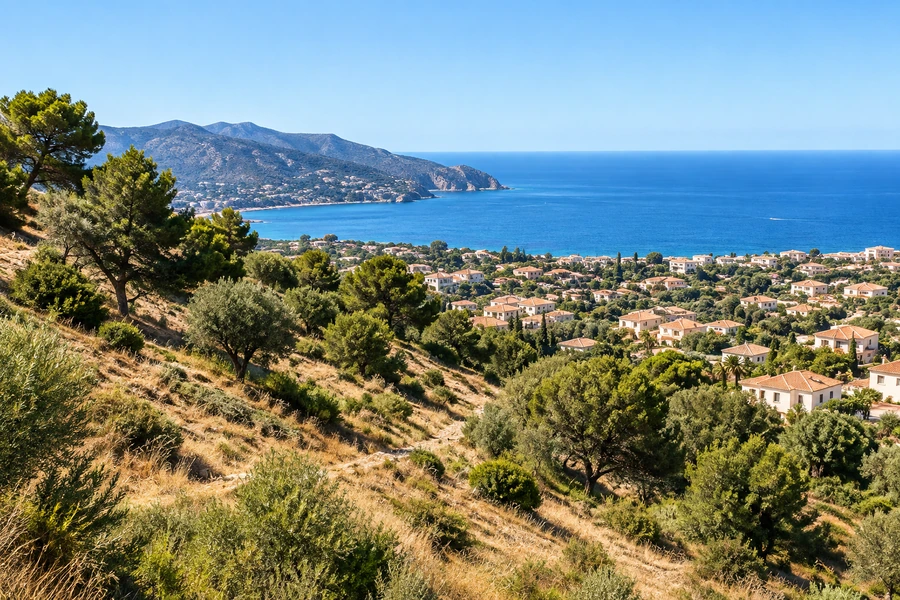
Consider a hillside plot where you initially plan a small house near the road. You then move the building downhill for a better view and add a basement. The topographic information may need wider coverage, while the geotechnical professional must assess whether existing investigation points and depths remain adequate.
The lesson is to share changes promptly. Send the same current plans to the architect, engineer and investigation provider. Do not assume that a report commissioned for the seller's abandoned design is automatically suitable for yours.
Results can also support a less complicated design. Moving the footprint, adjusting floor levels or reducing excavation may be worth comparing before accepting costly retaining works. The foundation-cost guide explains how these decisions move into the construction budget.
Questions to ask when comparing offers
| Question | Why it matters |
|---|---|
| What project information is the offer based on? | It reveals whether the scope matches your home |
| What fieldwork and outputs are included? | It makes competing offers comparable |
| What access assumptions have been made? | It exposes avoidable equipment and visit problems |
| What triggers extra work? | It shows how unexpected findings or design changes are handled |
| Who discusses the results with the designer? | It ensures the findings reach the decisions they should inform |
Request the responsible professional's details, programme and exclusions as well as the fee. The useful comparison is the cost of obtaining adequate information, not simply the cost of receiving a report with a familiar title.
Put the findings back into the purchase and budget
Use the reports alongside the plot purchase checks and the municipal planning response. Then update the site preparation and services budget. If an important item remains unpriced, keep it visible rather than hiding it inside a general contingency.
For a sloping site, read the survey findings alongside the choices involved in building on a hillside plot. The same information helps define the quantities and assumptions in the earthworks budget.
Tell us the plot location, your intended building and whether you are buying or already own the land. Mention any slope, basement or access constraint so the next enquiry focuses on information that can genuinely change the project.
Sources and further reading
- Código Técnico de la Edificación · DB SE-C Cimientos
- BOE · Ley del Catastro Inmobiliario
- Instituto Geográfico Nacional · Cartografía y datos geográficos
Sources checked on 19 September 2026. Your property documents and local requirements determine how the guidance applies to your project.