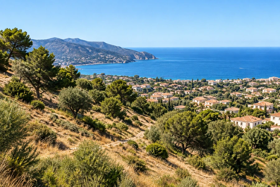
Before travelling to view land in Spain, it is tempting to make a decision from the listing pin and an aerial image. You can see a road, neighbouring homes and apparently empty space. What you cannot necessarily see is a legal access arrangement, a planning condition or a boundary discrepancy.
Public mapping can still make your research much more effective. Build a small evidence pack that distinguishes identification, visible conditions and questions for the authorities. It supports the checks before buying a building plot; it does not replace them.
Identify exactly what is being offered
Ask for the municipality, address or locality, cadastral reference and available Land Registry details. Check that the information relates to the actual land shown at the viewing. An advertisement may combine several parcels, while its photograph and single location pin give the impression of one simple property.
Use the relevant cadastral service. The Spanish Directorate General for Cadastre provides a map viewer with geographic information and image backgrounds. Record the reference used, consultation date and source link. If you cannot confidently match the listing to a parcel, ask the seller to resolve that identification first. Selecting the shape that looks most plausible can send every later enquiry towards the wrong land.
Give each source a clearly limited job
Cadastral mapping helps identify the represented parcel and property information. An orthophoto shows visible features at the time its imagery was captured. Planning documents address how the area is regulated. They do not necessarily share a date, scale or purpose, so apparent contradictions need investigation rather than an instant choice of which map to believe.
| Source | Useful starting question | Important limit |
|---|---|---|
| Cadastre | Which represented parcel is this? | A line alone does not settle every ownership dispute |
| Aerial imagery | What features are visible, and when? | A visible track does not establish a right of access |
| Planning documents | Which rules and plans apply to this area? | A screenshot is not permission for your proposal |
| Flood mapping | What mapped information is available? | Uncoloured land is not proof of absence of all risk |
Keep the active layer and legend with any screenshot. Without them, a coloured area can become a misleading piece of evidence as it moves between buyer, agent and adviser.
Turn aerial observations into viewing questions
Look for access routes, walls, vegetation, buildings and visible watercourses. Note anything that appears to affect the proposed use, then check it during the visit. Images can predate demolition, new construction or changes to an entrance. Where the capture date is available, record it separately from the day you accessed the service.
Do not estimate slope from shadows or treat a screen measurement as a professional survey. The topographic and ground investigation guide explains why those services answer different questions. Retain conflicting images with their labels. Removing the inconvenient one makes it harder to explain the issue to someone who can assess it properly.
Connect the location to the official planning enquiry
Find the competent municipality or other responsible authority and identify the relevant planning documents. Keep the map, legend and written provisions together. If several amendments are listed, ask which ones affect your plot rather than assuming the newest-looking page contains the complete answer.
Our planning certificate guide helps you formulate a specific enquiry. Describe the intended use and supply the property references so the response can address your decision. A broad residential label may leave questions about development conditions, services or access unresolved. A commercial planning summary can be an initial pointer, but verification should lead back to the official documents and competent authority.
Keep boundaries, access and hazards as separate checks
A fence that appears in a different position from a cadastral line does not automatically prove encroachment. Ask for the relevant records and suitable measurement. Cadastre–Land Registry coordination has its own processes and documents; a saved image cannot substitute for resolving a material discrepancy. See the guide to plot boundaries and delimitation when this could affect your purchase.
For flood questions, consult the MITECO national flood mapping system and applicable regional or local information. Identify the scenario, layer and coverage, and seek interpretation where the findings matter to the project. Investigate access separately: a track on a photograph does not establish who owns it, maintains it or may use it. These questions can share a map background while requiring different evidence.
Deliver a compact pack with explicit unknowns
Create a cover sheet with the parcel references, location, intended project and date. Add labelled maps, viewing photographs and an action table showing each unresolved issue and who should answer it. In an illustrative case, uncertain access rights, an unexplained boundary difference and an unclear planning condition would need three distinct follow-ups, not simply a higher-resolution image.
Repeat the same process for competing plots. If your search is regional, the Costa Blanca location comparison guide connects site questions with everyday life. Put confirmed investigation costs and clearly labelled allowances into the project budget calculator. Do not assume every unanswered question will become a bill, but do not silently treat it as resolved either.
Before committing, identify which unknowns could change feasibility, timing or your offer. To discuss the next stage, tell us about the land you are considering and the references you already have. An organised pack makes it easier to commission the right enquiry and avoids asking several professionals to reconstruct the same basic information.
Sources and further reading
- Catastro: ayuda del visor de cartografía
- Catastro: preguntas sobre coordinación con el Registro
- MITECO: Sistema Nacional de Cartografía de Zonas Inundables
Sources checked on 22 September 2026. Your property documents and local requirements determine how the guidance applies to your project.